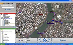
They're not quite there yet, but they have melded Portland's popular Bike There! map with Google Earth so you can view and preview bike routes throughout the Portland region. BikePortland.org gives you details on downloads and how-to so you can play with this technology yourself. If you live outside of Portland, this is a cool way to take a virtual bike ride through the city.

No comments:
Post a Comment